Sela Pass (Se La) lies on the mountain road between Dirang and Tawang, right around the boundary belt of West Kameng and Tawang districts. At this altitude, weather can shift quickly from clear sun to fog, wind, or snowfall, so the pass is both beautiful and demanding. Most travelers experience Sela as the dramatic high point of the overland journey to Tawang, with Sela Lake and sweeping Himalayan ridgelines as the main highlights.
Sela Pass
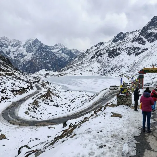
The high mountain gateway between West Kameng and Tawang at around 13,700 ft
A Glimpse into the History of Sela Pass
Gateway Route to Tawang
Sela has long been the mountain gateway for reaching Tawang from the Assam side via Bhalukpong, Bomdila, and Dirang. Even today, this route remains central for tourism and local movement.
1962 War Memory Corridor
The Sela-Jang stretch is closely connected with stories from the 1962 conflict, and Jaswant Garh War Memorial below the pass remains an important stop for many visitors.
High-Altitude Lake Landscape
Sela is known for its glacial surroundings and sacred mountain-lake setting. The nearby Sela Lake is one of the visual signatures of this pass and a key photo stop on the Tawang road.
Cultural and Religious Significance
For Monpa and Himalayan Buddhist cultural life in this region, the Sela route is more than a mountain crossing. It links monasteries, settlements, and pilgrimage movement toward Tawang, and many travelers treat the journey itself with reverence. The landscape, prayer flags, and nearby memorials together give this pass a quiet spiritual and historical depth.
Festivals and Local Experiences
Scenic Drive Through Snow and Mist
The climb to Sela is one of the most dramatic drives in Arunachal Pradesh. On clear days you get deep valley views, and in colder months the route turns into a snow-framed corridor.
Tawang Circuit Cultural Add-On
Most travelers combine Sela with Tawang town experiences like monastery visits and seasonal celebrations such as Losar and Torgya, making the route both scenic and cultural.
Scenic Himalayan Setting
Sela Pass sits at high altitude where weather changes quickly and the mood of the mountains shifts hour by hour. Early morning usually gives the clearest views, while afternoons can bring cloud, fog, or icy wind. This raw Himalayan character is exactly what makes the place unforgettable.
Travel Guide to Sela Pass
How to Reach Sela Pass
By Air: Guwahati (LGBI) is the most reliable flight gateway for this route. Official Tawang tourism guidance lists Guwahati-Tawang as about 543 km by road, and Sela comes roughly 90+ km before Tawang on the same approach. Tezpur airport is closer but has limited service.
By Train: There is no direct railway access to Sela. The practical rail gateway is Guwahati, then continue by road toward Bhalukpong, Bomdila, and Dirang.
By Road: Sela is on the Bhalukpong - Bomdila - Dirang - Tawang mountain corridor. A common plan is night halt at Bomdila or Dirang and crossing Sela next morning. Keep buffer time for weather, road work, and check gate formalities. Indians need ILP and foreign nationals need PAP for Arunachal entry.
Best Time to Visit
April to June and September to early November are usually the most comfortable for road travel and visibility. December to March can be stunning for snow, but blockages and convoy delays are possible in this period.
Local Attractions
Jaswant Garh War Memorial (below Sela on the Jang side)
Tawang Monastery (about 92 km from Sela, as per Tawang tourism route notes)
Dirang and Sangti Valley (on the return side toward Bomdila)
Tips for Devotees and Travelers
Carry layered winter wear, gloves, and a windproof outer shell even in summer; conditions at the pass are much colder than Bomdila or Dirang.
Start early from Dirang or Tawang. Morning drives are usually safer and clearer than late afternoon, when fog and ice risk can increase.
Hydrate well and avoid rushing. If you feel headache, nausea, or breathlessness at altitude, descend and seek medical help.
Keep ILP/PAP printout and government ID handy at check gates. Mobile network can be patchy, so save offline copies too.
Top up fuel at lower towns like Bomdila/Dirang and keep cash for small stalls. Services near the pass are limited.
Take photos only in permitted areas and follow local/army instructions carefully in this sensitive border region.
Pass Location
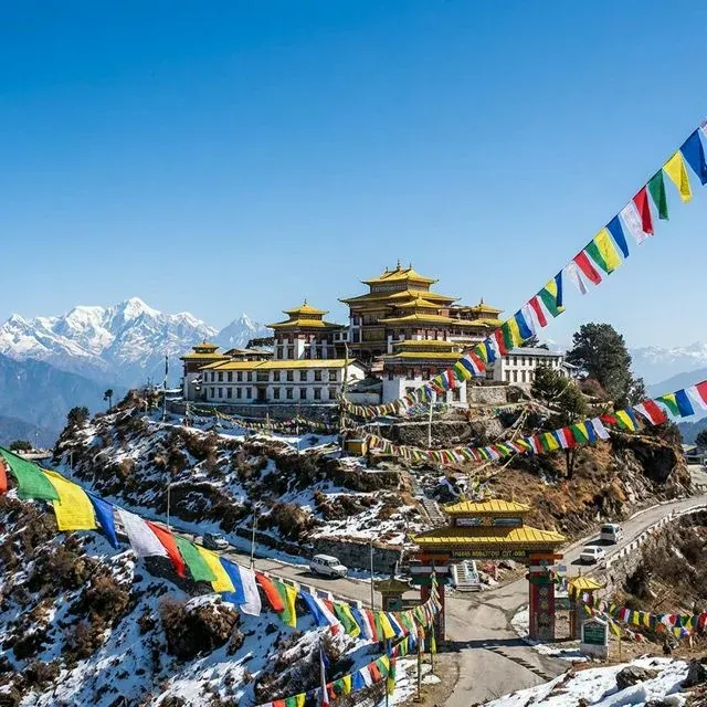
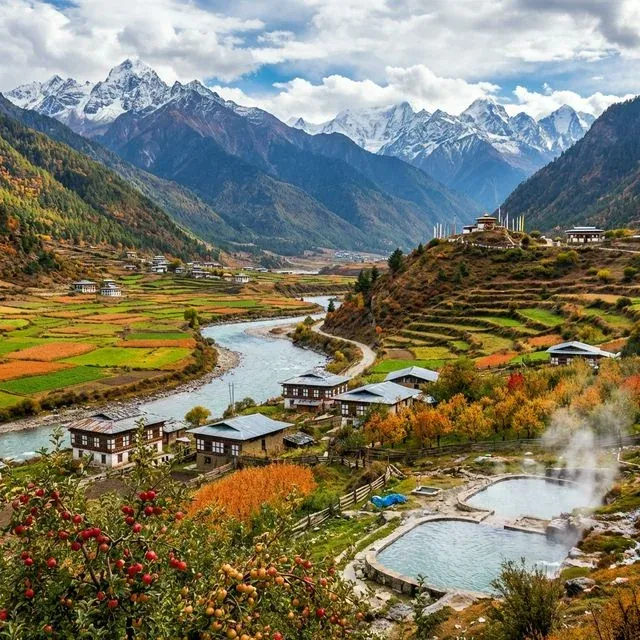
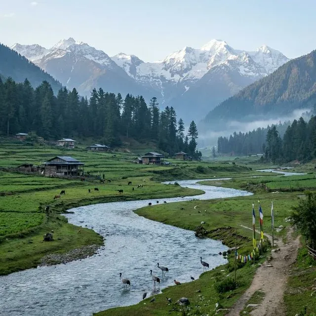
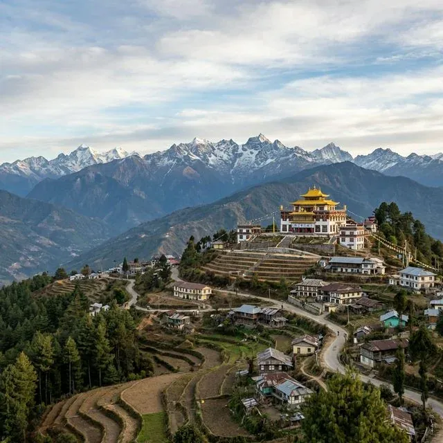
Image Gallery